
Is Climate Change Real?
December 7th, 2017For the second time this fall, New Harmony piloted a learning plan with middle schoolers. We brought students from Waldorf School of New Orleans on a three-day leaving-to-learn excursion to attempt to find evidence to support or refute the question “Is climate change real?”
Day 1:
We started off our adventure by heading to Joshua’s Marina where we flew the drone to take aerial photographs of the marina. Then we compared it to other satellite images of the marina on maps to show how quickly things can change. We realized some of our maps are significantly outdated. This also was an opportunity to recognize evidence of climate change.
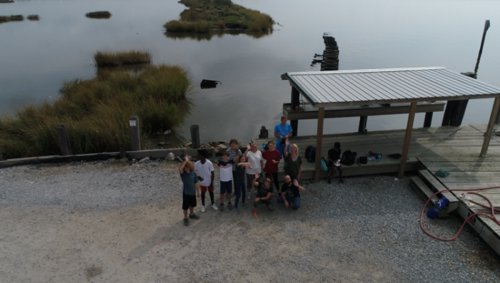
From the sky, as Jalen flies the drone and catures our last moments at Joshua’s Marina in Buras.
Later in the day, we spent time on a local farm learning about how to take care of animals and grow plants in a sustainable way. We looked at maps with a local engineer and talked about the impact of levee systems. Then the students walked over to the west bank of the Mississippi River to see the levees firsthand.
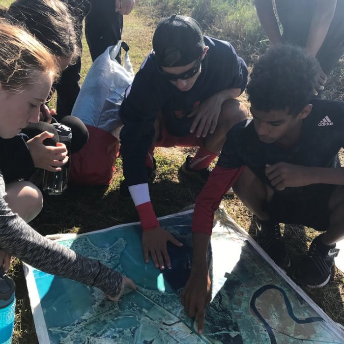
Students are attempting to locate where they are based on what’s around them, and to figure out why Chef Menteur Pass has its name!
Day 2:
The next day we paid a visit to the Shea Penland Coastal Education and Research Facility (CERF).
The director of coastal education, Dinah Maygarden, welcomed us and talked briefly about the research done at CERF Center. Students hypothesized why the body of water we were at was named Chef Menteur (“Trickster Chief”). They figured out, by looking at a map, that Chef Pass water is tidal, which means it flows in and out, making it look like it’s flowing different ways at different times of day. We then took canoes out and looked at plants, attempting to understand what happens when salt water intrudes into fresh water areas. We tested the salinity of the water, and discussed adaptation. Canoeing is also a great way to test your communication skills!
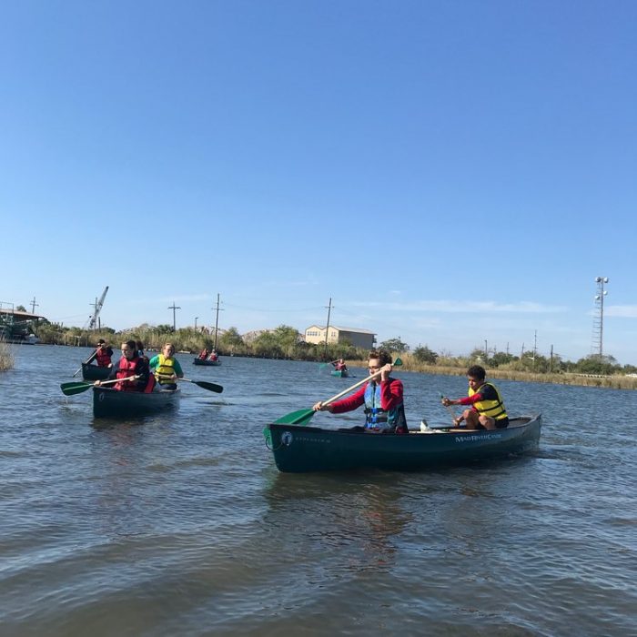
We canoed to explore the area and test our communication skills.
Back on shore, a master naturalist taught us about dissolved oxygen in water. We learned that there is more oxygen in cold water than warm water. Oxygen is needed in water to sustain life so oxygen-poor areas in the ocean can become dead zones. The Gulf of Mexico’s dead zone is almost 9000 square miles– the largest ever measured. We talked about how that impacts the ecosystem, and how a dead zone develops over time– nutrient pollution and agricultural practices along the Mississippi (waaaaay up river) stimulate algal growth which decomposes and consumes much needed oxygen.
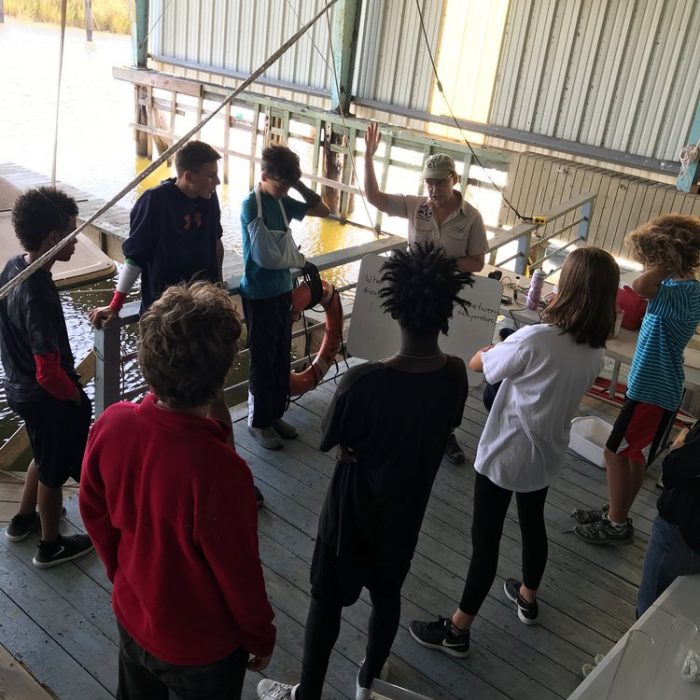
Our Master Naturalist helped students test dissolved oxygen in water to help understand the impact of higher temperature water on the ecosystem.
We ended our time together by practicing our drone flying skills. Students practiced communication skills by playing a mash-up of hide-and-seek drone tag!
Day 3:
On the last day, we went to University of New Orleans. We met with researchers from GCR who presented about how data is used in election cycles and in trials, and how they use data and statistics to help communities become more resilient.
In the afternoon we met with Dr. John Wiley and Kendal Leftwich. We saw many of the machines and instruments used by the university to collect data. Then the students learned from faculty in the physics department by participating in hands-on activities to see physics in motion. Then they learned about a project the university is doing to track animal populations in the Gulf of Mexico and were invited to participate in the study in the future.
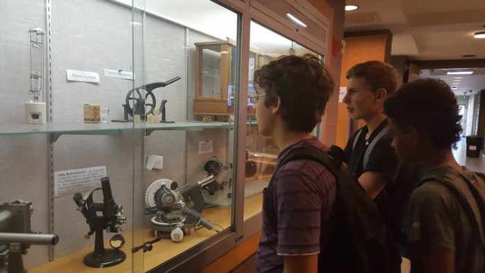
Scientific instruments at University of New Orleans
Then students had some time for reflection about what they learned. They each shared what they learned, wonder, and will do as a result of the three day excursion. Watch what they said!