
DRONES!
December 1st, 2017We at New Harmony recognize that the proverbial pendulum is most often magnetized to the status quo. We often talk about how “rethinking” high school means rethinking everything we’re inclined to do simply because it’s the thing we’ve been doing. It means continually asking what is best for our students. It means students remain at the center, even when it takes more/different work, creates additional operational issues, or costs more. It means looking at an issue from 90 meters up and seeing a different angle. And it also means flying drones!
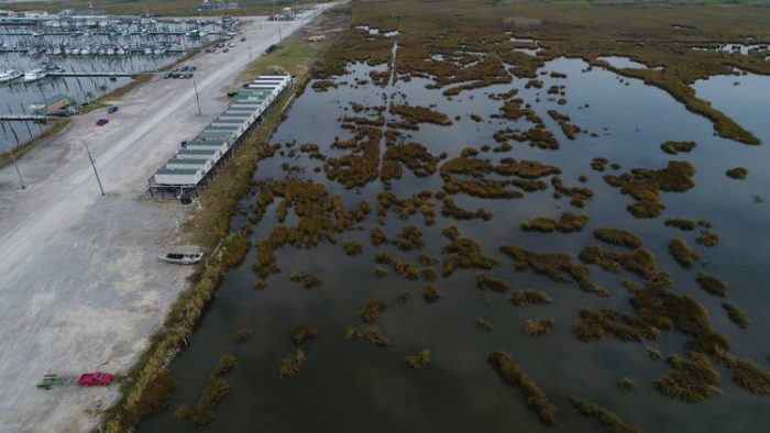
We wanted students from our pilot project to see that currently published maps aren’t up to date. Land is now water. What’s the best way to see this? From the air! We put our eyes in the sky at Joshua’s Marina in Buras. This image above is the shot the drone camera took. Compare it to the images below.
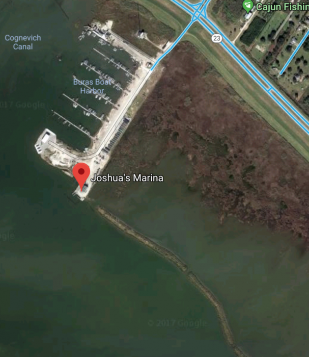
This is a Google satellite image. The watermark indicates it’s from 2017. Looks pretty close!
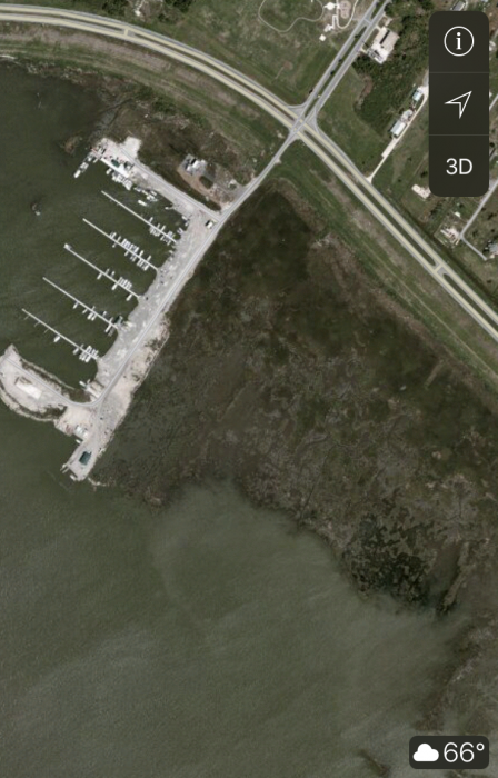
And this is an iPhone maps app.
Stay tuned to hear more about our partnership with Waldorf School New Orleans!